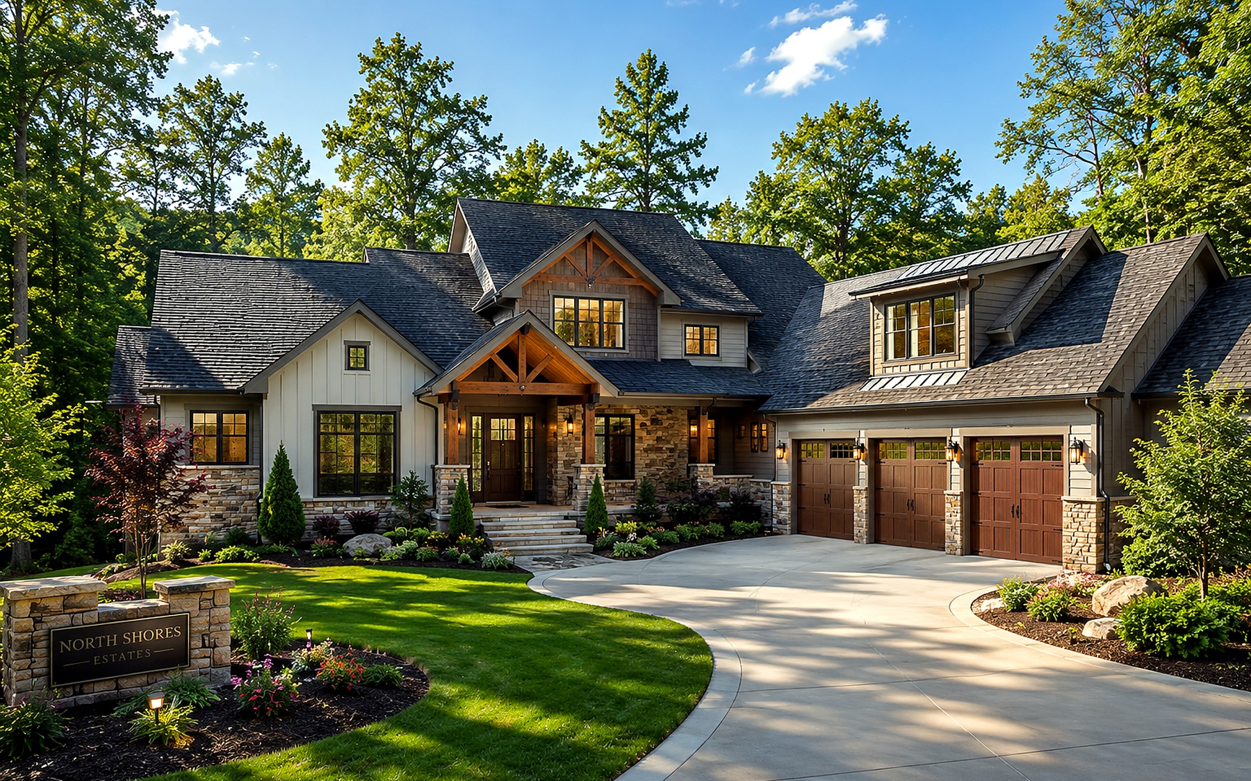
Residential Real Estate
Show how the residence sits on the lot and connect exterior features that are difficult to capture from ground level.

NORTHEAST GEORGIA & UPSTATE SOUTH CAROLINA
FAA Part 107 drone photography for homes, land, vacation rentals, and commercial properties across Northeast Georgia, Lake Hartwell, and nearby Upstate South Carolina.
AERIAL PROPERTY MEDIA
Aerial photography can show the home, lot, roads, water, access, and surrounding features in a single view. Each flight is planned around the details buyers need to understand.
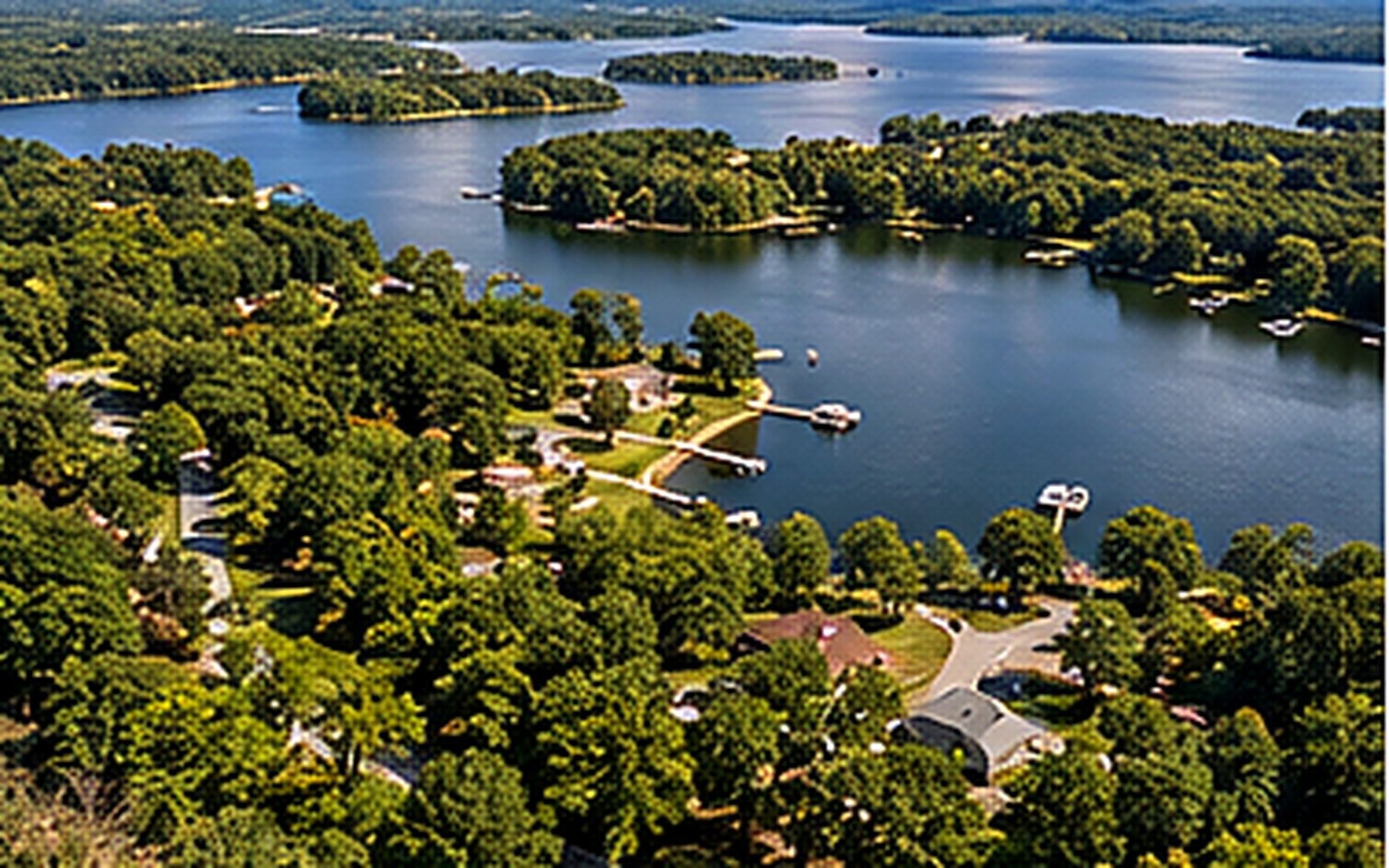
BEST USES FOR AERIAL IMAGERY
The approach is tailored to the property and its most important features.
Show how the residence sits on the lot and connect exterior features that are difficult to capture from ground level.
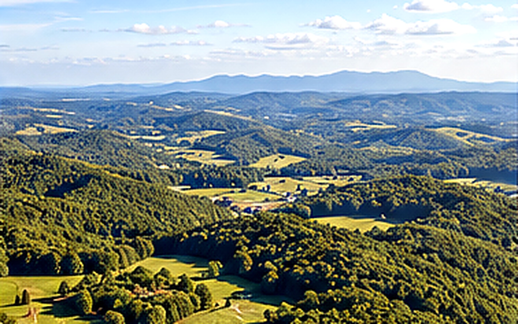
Clarify road frontage, terrain, usable areas, neighboring parcels, and the broader setting of the property.
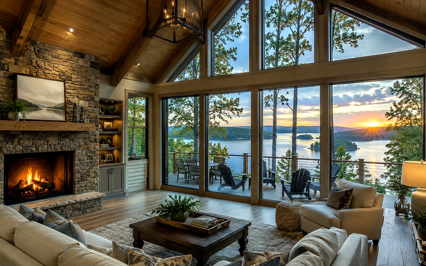
Connect the rental to its destination by showing outdoor amenities, privacy, water access, or nearby attractions.
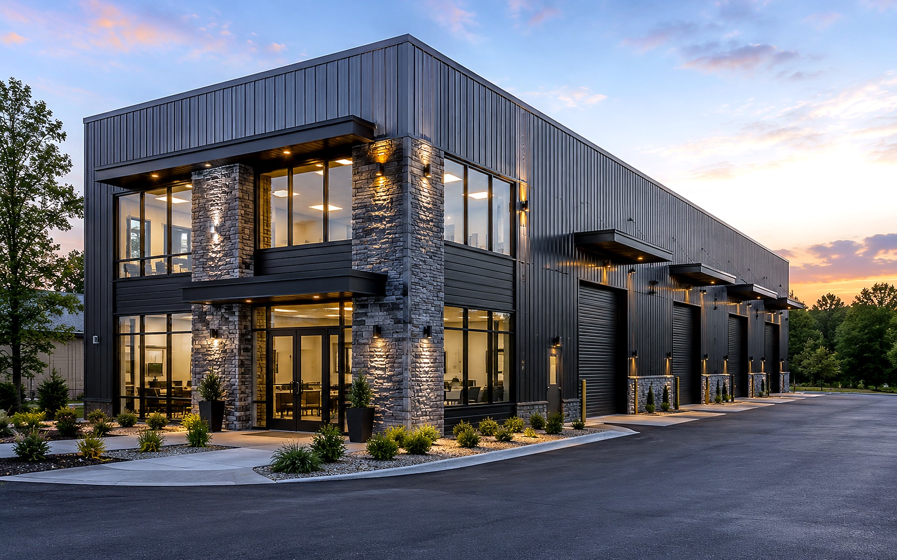
Present access, parking, building placement, traffic exposure, and surrounding commercial context at a glance.
OPTIONAL PRESENTATION ENHANCEMENTS
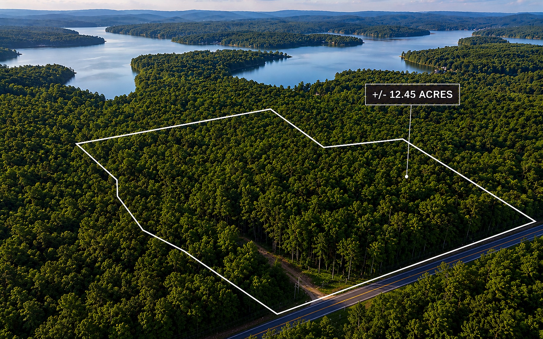
Selected aerial images can include approximate boundary outlines or point-of-interest labels to clarify access, parcel shape, nearby landmarks, and important features.
Boundary graphics are approximate and are not a substitute for a professional survey.
SERVICE COVERAGE
Waypoint is based near Hartwell and serves Northeast Georgia, Lake Hartwell, and nearby Upstate South Carolina. Availability depends on location, scope, weather, airspace, and scheduling.
Coverage for residential listings, acreage, vacation rentals, commercial properties, and development sites across the region.
Nearby South Carolina projects are available based on location, scope, travel requirements, and scheduling.
Local coverage remains convenient for Hartwell, Hart County, and properties throughout the Lake Hartwell area.
FREQUENTLY ASKED QUESTIONS
Yes. Waypoint Property Media operates under FAA Part 107 requirements for commercial aerial photography.
Waypoint photographs residential properties, vacant land and acreage, vacation rentals, commercial properties, and surrounding property context.
Yes. Property boundary outlining and point-of-interest labeling are available to help viewers understand access, scale, roads, landmarks, and nearby amenities. Boundary lines are approximate and should not replace a survey.
Turnaround is typically within 24–48 hours, depending on project scope, weather, and scheduling.
Waypoint Property Media is based near Hartwell and serves Lake Hartwell, Northeast Georgia, and nearby Upstate South Carolina communities, subject to location and scheduling.
Send the property address and project details to begin planning the shoot.
Book a Shoot